Since we had this weekend free, and new camping gear, we decided to go hiking and camping. We initially set out to do the "High Country Loop" which goes by Cave Creek trail and back by the Pinhoti, however due to weather concerns we decided to cut it short. I think it worked out better that way.
Yesterday morning I packed our two backpacks with all the gear we'd need, and at about 12:00, we set off for Mt. Cheaha. We ate lunch at the restaurant there,
and then went to the trailhead just down the hill. This trailhead has a connector to the Pinhoti which is where we went to get to McDill point (which is on the high country loop) and our bald rock hike. We then began to follow the cave creek trail.
'

We were headed for the "Pinhoti Connector," though we would never make it. After hiking some distance down the trail, we noticed a spot where a number of other people had gone off the trail. We looked down the hill and saw this:
It is a sinkhole, where an underground water feature eroded the dirt to such a degree that it fell in. The sound of running water echoed from the hole, implying that there is still a larger cavern down there. We opted not to go down and see however, as it seemed to be in the mood to fall in. There was a fairly large tree that had been swallowed by the gaping maw that had opened beneath it.
We then proceeded down the trail. There are a number of different types of areas, biomes if you will, along the trails. There were the more open woods, usually on a steep drop,
and rocky areas where the shallow-rooted pines would grow,
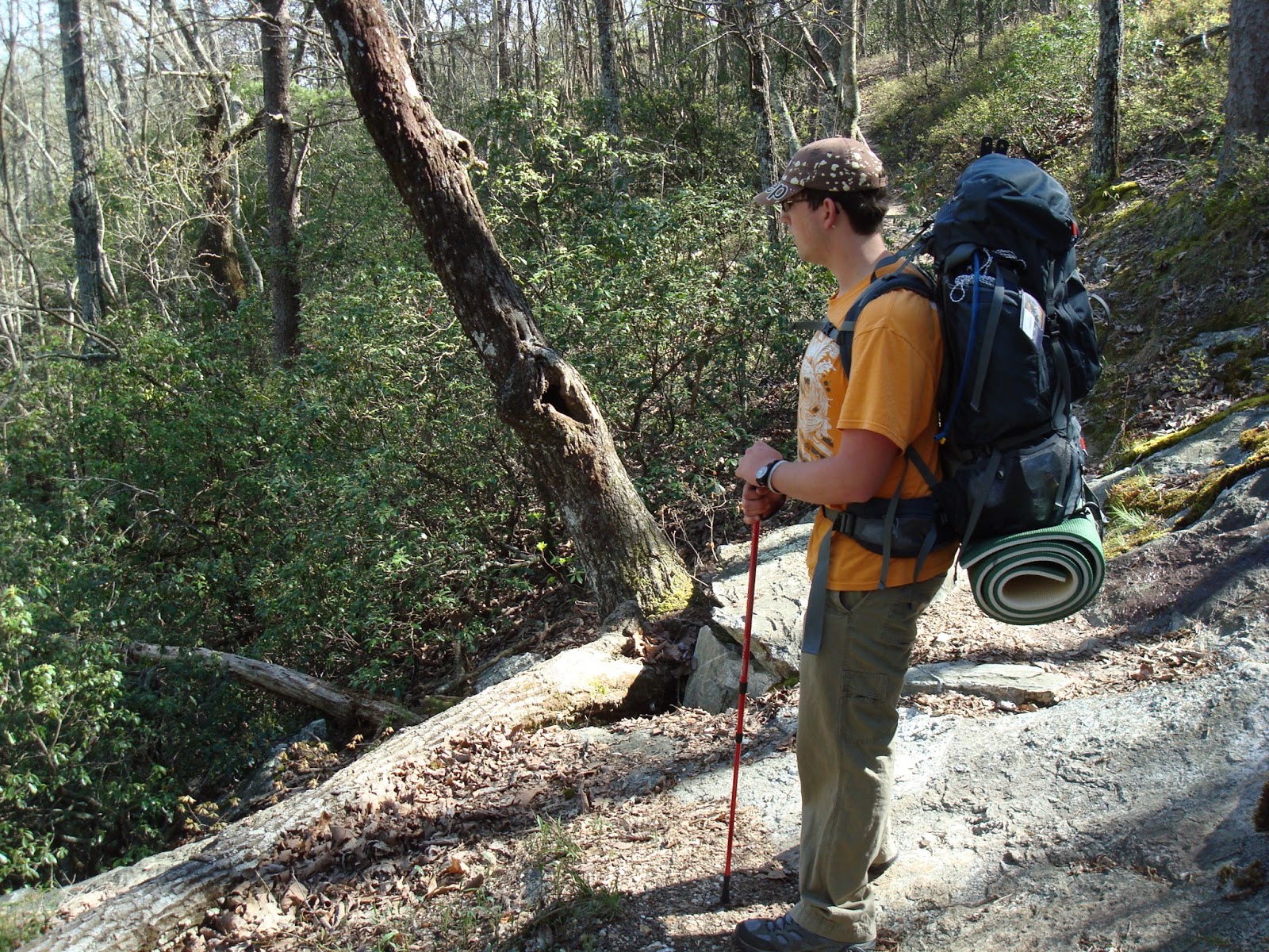
and around the creeks there were green thickets of dense brush. These would be hotspots of life, since water is necessary for all life. Here I am looking down toward one of the creeks.
And here I am crossing said creek. It was nice having those trekking poles, they helped us keep our balance when crossing streams and when walking across boulder fields.
Cave Creek Trail follows a contour line, as opposed to the Pinhoti, which goes along the top of the ridge. This makes it much easier to hike, since we didn't have to climb much. This also meant that there would be stretches where the trail was very narrow, and dropped off steeply to one side.
It usually wasn't a sharp cliff though, until the trail came to the point of the ridge. It then switched back to follow the contour toward Cave Creek, but not before revealing an excellent view. We stopped here to rest.
The view to the southeast seemed to go on forever.
Looking back north, you could see where the two ridges converged, which is where the parking lot is.
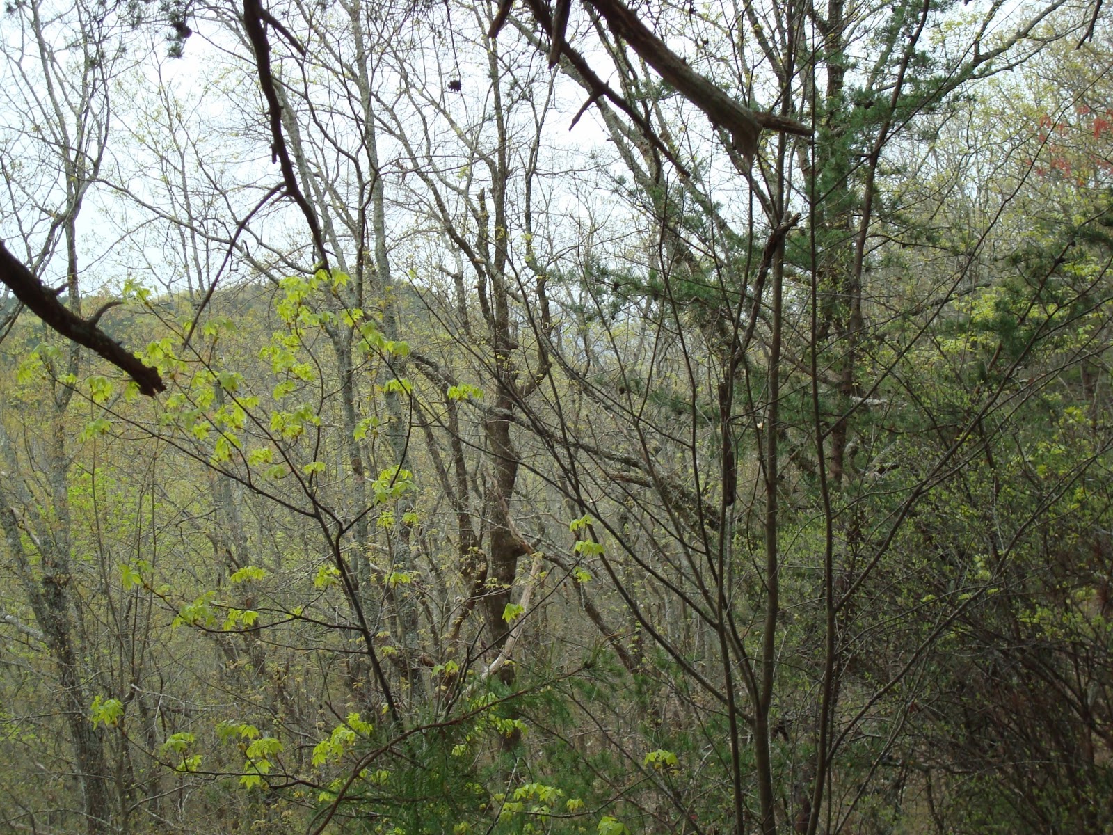
The forest had thickened leading up to this vista.
It was equally thick under the cliff, but it was high enough to allow the view.
We then followed the switchback to the west, a long, meandering trail.
I feel very lucky that I am close with my father. I can't imagine what my life would be like if I weren't.
Shortly after the vista, we saw a rock which would be great for hiding under in a rainstorm, or for some hobbits to hide under. Depending on the situation.
About 45 minutes later, we arrived at Cave Creek. This creek is present year round, and is a common watering hole for hikers. It was a very pretty mountain stream, rushing by with the recent rainwater.
At this point. it was about 5:00. We decided to start looking for a campsite. About thirty feet from the creek, there was a small side trail that led up the mountain. We decided to follow it to a probable campsite.
When we got to the top, we found what looked at first like the perfect campsite.
Rocks to sit on, a nice fire ring, and a good view.
Of course, it had a few minor issues, it had obviously been used a lot, and firewood was scarce. It was also on a hill, so the wind may get bad at night. These were minor issues though, and we started to set up camp.
We quickly realized a problem we didn't see at first, that made it impossible to stay there.
Ants. Billions of ants. They were covering everything in sight, from the rocks to the trees. (That picture is from google, I didn't take it. For the record.)
So we decided to look for a second campsite. We found this place on the side of Cave Creek, but we decided that it was too close to the water and we didn't have enough room.
It was a nice spot though. We moved a few hundred feet up the hill, where the forest opened up more.
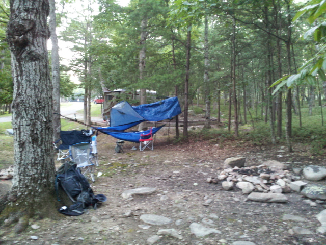
We gathered some sticks to start a fire, and set up our hammocks.
Luckily, it wasn't supposed to rain, so the tarp didn't have to cover both of us. It worked well to keep the wind and treestuffs off of us, and allowed us to see the stars out the sides. You can see where the brush gets thicker around the creek, just past where Dad was gathering firewood.
After the sun dipped behind the ridge, the light faded quickly.
The fire quickly became the only significant light source.
When the dark hit, we heard a Barred Owl's "Who cooks for you?" cry.
Soon it got dark enough so that pictures were no longer possible. I cooked (read: burned) some hot dogs over the fire, and Dad ate a can or two of oysters. I also ate some animal crackers, and drank mint tea. I first had mint tea in Morocco, and I now think it is quite good. It is easy to make camping as well, adding flavor to the water. (In some cases, overpowering the "purified" taste of iodine water. Though I didn't notice much of a taste this trip.) After discussing some philosophy and astronomy, and other such things, we retired to bed.
I didn't have much trouble sleeping, my mummy bag kept me plenty warm and I was comfortable in the hammock. I woke the following morning at about 6:30.
I use that ridgeline rope to hang stuff like my light and my glasses. I have a bug net, which I used although father said that no bugs ever bothered him in the night. (I did offer it to him before I attached it to mine.)
As you can see, the hammocks look pretty warm and cozy, with the proper gear. It never dropped below fifty this night though, and there is a point in temperature where I would recommend a tent. But the hammocks are better than a tent for this sort of thing, in my opinion.
Dad started up a breakfast fire, and I boiled some water we had collected the previous night.
I used the MSR "Pocketrocket" stove, which was really nice for backpacking. It folds up to be really small, and is virtually weightless. The main complaint I had read in reviews about it is also my only complaint, stability. However using a rock to keep it flat worked, and to have a stove that small and effective was worth it.
Its prongs are designed for a bowl-shaped bottom, which causes most of the stability issues. It worked great though. I made grits and Dad made coffee with it.
The grits didn't last long.
Here is a "Where's Waldo" type picture from when I went down to get some water.
It was nice, getting our own water instead of just relying on what we brought. It made me feel self-sufficient. Like we were living off the land. We used the Coleman Iodine solution to purify the water of harmful bacterias.
After breakfast we began to pack up.
At this point, the clouds began to look ominous. Father checked his weather app on his phone, revealing that the rain was going to arrive hours before it was predicted yesterday.
So we decided to fall back the way we came in the effort to escape the downpour.
We trekked out with some speed, meandering along the ridge whilst looking over our shoulders at the approaching rainstorm sweeping across the valley.
We arrived back at the vista again.
We wound back through the thickets,
The little path made a thin line through the vast forest. It soon began to sprinkle as the rainclouds encircled us.
We passed the steep drop again, this time moving faster.
Horse Creek ran in the valley far below, slowly carving it deeper.
The rain swept over the next ridge east of us, but we were close to the parking lot now.
By this point it had begun to rain pretty hard.
It had been a great hike. I thoroughly enjoyed all of it. Everything seemed to work out well. The minimalist attitude was nice as well, as we didn't have much stuff to deal with. Just us, our packs, and the wild. The hammocks were great, at least for me, and the food was excellent. We didn't accomplish our goal of making the loop, but it turned out great.