This weekend we did the northernmost Talladega National forest section of the Pinhoti Trail.
Terrapin Creek runs along its edge, and the mountains towering around it give an alpine feel.
We met a nice man who was coming down from the summit of Wilson Ridge, who warned us about the fallen trees. He was the last person we saw on that hike. The trail promptly became switchbacks as it snaked up the side of the mountain.
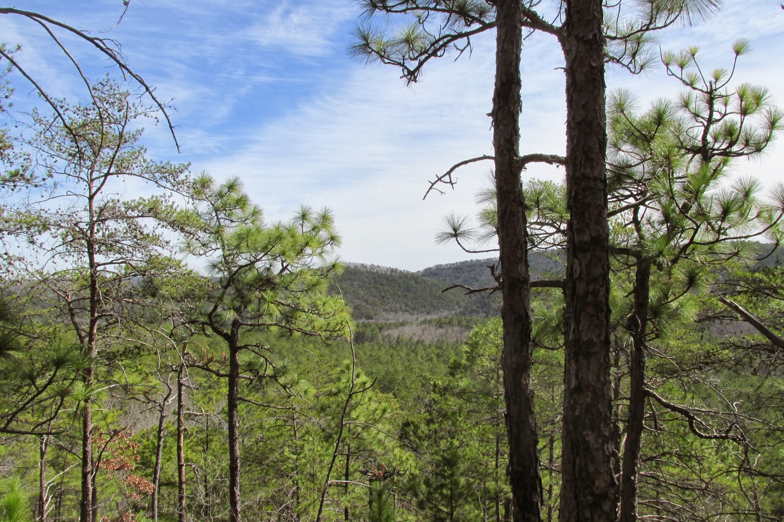
As we climbed, we began to notice the views of Oakey mountain opening up behind us.
The pines furthered the high mountain feel of the climb. We could see the campground down several hundred feet below us.
Soon the trail turned again, showing us the mountain before us.
The terrain began to get rockier as we rose, and soon we reached the rocky area which was the highest point that the trail would bring us to on this ridge.
The four of us stopped to look at the view.
As we continued on, it became apparent that some violent force had fallen upon the mountainside.
The trees were bent and broken in an unnatural manner. Large pieces of wood were splintered and cast about.

Here you can see large green trees pushed over as though they weren't huge, old, deep-rooted structures.
Eventually we decided that it had to have been the ice storm a few weeks ago that did this, although it was hard to believe that enough ice could have built up on leafless hardwoods to bring them to the ground.
After navigating the trees that had fallen across the trail with some difficulty, we came to a dirt road. We walked down it a bit and found a flat spot to eat lunch.
It was extremely silent there. Quieter than seemed possible in the modern world. We all fell asleep after lunch, though only for a few minutes. We then made the descent into Maxwell gap, the space between Wilson and the Augusta Mine Ridge.
This sign claimed that we had six miles to go.
Clarence and I stopped there to wait for Olivia and Dad to go drop a car off at the other trailhead.
In that 45 minutes, we only saw a couple of cars, and I saw what I am fairly confident were Coyotes. A little ways away there was a small stream bubbling by.
Soon they returned and gave us the key to the Camry, which was then at our final destination. Clarence and I said our farewells, and began the nearly vertical climb to the summit of the Augusta Mine Ridge. The trail took us through some short pine trees, many of the needles of which had fallen in the ice making a green carpet of sorts along the trail. It also gave the air a strong piney aroma.
Views of the Wilson Ridge appeared to the south.
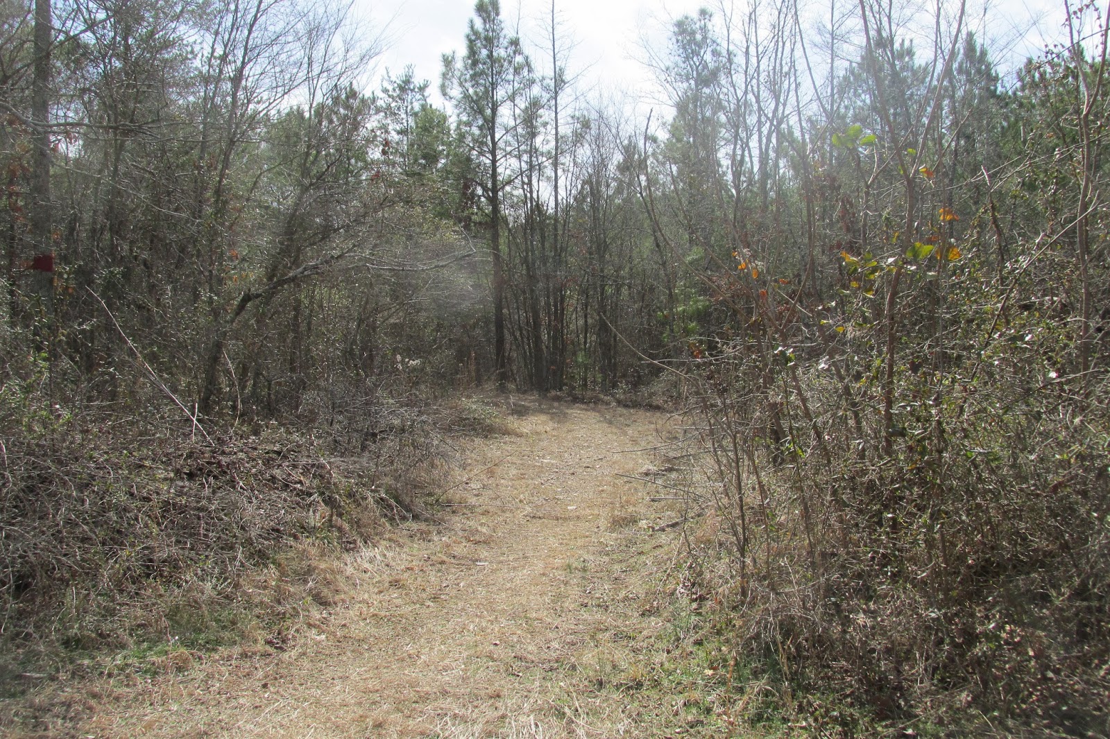
The trail in this segment was so little used that the leaf litter was all but undisturbed in the place where the trail was supposed to be. If not for the blue blazes, I am sure we would have lost the trail.
The slopes of Oakey Mountain were visible behind us, with the late afternoon sunlight shining through the clear sky upon it.
We continued to climb further and further up, until the trail reached the top of the ridge and began to flatten out. The views on both sides from the top of the ridge were amazing.
They got increasingly better as we walked on.
In the last picture above, that silvery surface under the far mountain is Weiss Lake, and in the two above it Piedmont is visible in the valley. On the opposing side the view looked out into Georgia, with Cedartown's lights shining in the distance. The eastern sky remained a bit brighter throughout the night, which I suspect was a little of the Atlanta metro light pollution.
Soon, the sun began to set, coloring the sky a bright orange.
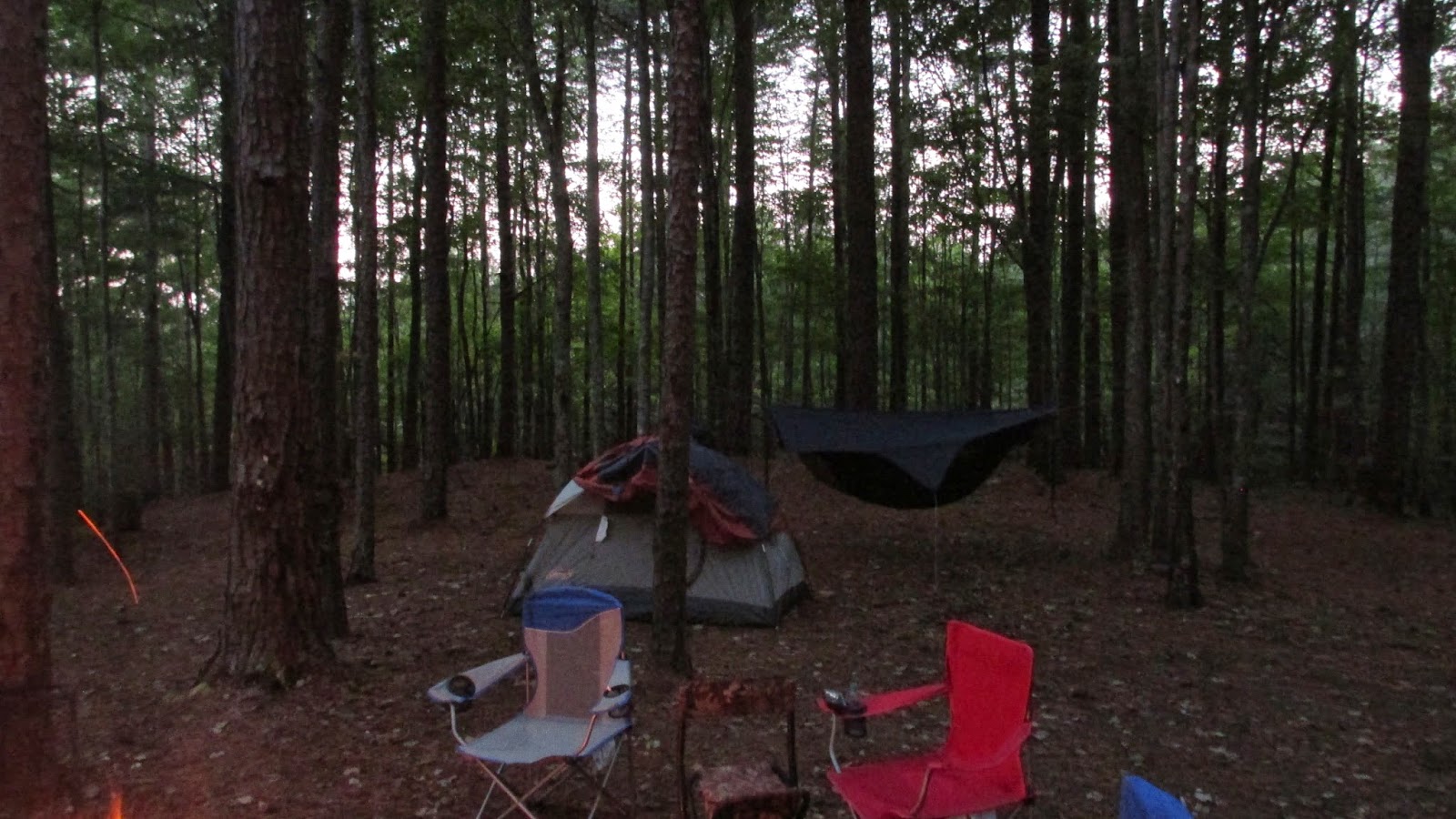
We decided that this would be a good view to wake up to the following morning, and began to make camp.
Clarence and I both use hammocks when backpacking. They have many advantages, the most noticeable one here was the ability to sleep above rocks.
There was a small fire ring here, but it was obvious that no one had used it in a very long time. This lack of use coupled with the tree-stripping ice storm meant that firewood was plentiful. The sun set a short while after making camp, casting beautiful multicolored rays of light across the sky.
Here you can see the lake more clearly
After setting up our sleeping areas, we made dinner. Clarence ate something made by Hawk's Vittles, and I ate my usual mountain house meal.
It took a while for darkness to actually fall. The sky stayed Salmon colored for some time.
The valley appeared to be mostly farmland during the day, but nightfall brought with it the revelation of the city of Piedmont.
When the sun did eventually set, the stars began to come out.
It was odd, somehow my subconscious knew that i was at a very high altitude when I looked up. Almost as though my eyes could tell that I was closer to the stars than usual. Those few sticks above were the only things for miles around closer to those stars than me. We were just two tiny people with a tiny campfire, sitting on a precipice jutting off the side of the planet with the vast, unimaginable space beyond. If somehow gravity could be reversed, we would fall until we hit those stars, and if we were somehow falling at the speed of light, it would take a thousand years to hit one. (Or at least the center star of Orion's belt)
All of this really puts life into perspective. The walking, the mountains, the views, the stars, all of it.
After hanging out for a while, we both went to bed. I woke up a time or two during the night, and heard a distant owl. The wind was fierce that night, not being extremely cold but extremely strong. The moving trees rocked my hammock back and forth, which was unsettling at first, but eventually put me to sleep. Around 5:45 in the morning, a great howl echoed throughout the valley. Coyotes celebrating a good night, or cursing the morn. They were impressively loud, and quite creepy. As I had gone to bed around 8:45 the night before, this was an adequate amount of sleep, so I got up and made breakfast.
The sun rose over Georgia beyond my hammock soon after. During breakfast, we had a visitor to our camp. Some sort of subterranean creature began pushing up from beneath the ground. It pushed up in a few different places, and seemed able to move rather swiftly underground. It never fully emerged though.
Hammock camping really is the best way to sleep in the woods. It is pretty much unfair to tent campers.
The views had not gotten any worse during the night.
We soon packed up our stuff and hit the road again. After a few hundred feet, we saw several other campsites with views on both sides. The ridge became rockier as we reached the summit.
The last picture is of a plaque placed in memorial of the person who donated that land for the trail to go over. Robert R. Furgerson.
The trail began to follow a four-wheeler road down the side of the ridge from here.
The rocky top loomed over us on the left.
Soon the trail turned and descended into Lanie Gap.
Looking back we could see the Augusta Mine Ridge from which we had come.
We passed through Lanie Gap, which was dry, and carried on. We passed a microwave tower after the Gap, and then went down into Lanie Hollow, after some distance.
We got water and rest here, and then continued on through the valley.
After a good stretch, we came to a creek crossing on Lanie Creek.
It was a pretty mountain creek running through the valley. I had difficulty crossing, as where I stepped was over the waterline of my boots. The water seemed to dry fast though. Somehow Clarence had gotten across without getting wet.
The trail then followed along the creek for some distance.
We came to a place where a large cement dam had been built across the creek.
Before long, we began to be able to hear the road.
Within a short time we had reached the end of the trail.
It was an awesome hike. There were some impressive climbs, amazing views, and awesome stories. Can't wait until next time.