On this day, we looked at the Ordinance Survey map and noticed a Mott & Bailey style castle 2 miles south of the house.
We set off walking south in the morning.
We came to a medieval bridge, just before arriving at the earthworks of the castle.
The mound in the center (the mott) in where the keep would be located, and there may have been a palisade on the surrounding dirt ring. The picture below is taken from the bailey, where the village would have been.
After that, we walked back to the house.
On the way back, we stopped at the church in Llansilin, where there had been a church since ancient history. The Yews, (a tree, pictured below) are thought to be several hundred years old. They found some yew trees over 2,000 years old, though they were larger than these.
The churchyard had many old graves. There is a door in the side of the church with bullet holes from the English civil war.
Day 6
(disclaimer-from this point forward was written well after the trip, so memories are likely somewhat distorted.)
Today's itinerary focused on Stokesay Castle, which is a 13th century English castle in Shropshire, built by a wealthy wool merchant to protect against welsh raiders. It is really more of a fortified manor house.
On our way in, we passed a beautiful Aston Martin in the parking lot, because England.
Despite being less fortified than some castles, Stokesay does have a deep moat, a curtain wall, and a fortified tower.
The main building of the castle has a great hall (featured in Russell Crowe's Robin Hood), which would have preformed many functions.
We climbed to the top of the tower. From there the chapel and graveyard were visible, with the curtain wall separating them from the grounds. Looking left from there there is a good sized lake and some sheep farms.
Dad and I ate a snack and got some tea in the yellow "modern" building on the right, which was built in the 17th century. This castle saw a hostile takeover in the English civil war, but remained largely undamaged.
Since it was summer at a high latitude, we still had plenty of day left. We next went to the town of Church Stretton, and went hiking just outside of town. The towns in England are much, much more compact than the ones in Alabama, so a few minutes walk gets you into the wild. The trail we were on went to the Light Spout Waterfall.
We set out from the pleasant resort village at the car park and began to climb.
The trail ground through a green, gourse lined valley with a stream in the middle. It felt much like how I picture the edges of Tolkien's Shire.
As the trail climbed, the hills became rockier, and the terrain mildly rougher. The trail was very well maintained though.
Soon the hills were mountains, but the creek had carved a gentler slope between them.
The trail went over rocks here, but was still well traveled.
In the distance, we began to see a craiggy rock area appear. There was a cleft in this that we were sure the waterfall ran through.
The waterfall was there, with fifty-foot rock walls towering above us. There was a natural stairway that we decided was the trail on from here.
(Note: get dad's picture of us resting and place here)
After the hard climb, the trail flattened out a little. There were several sheep trails here as well, so it made locating the proper trail more difficult.
We soon noticed that we were atop a plateau of sorts, as the mountains flattened out on top.
The town of Church Stretton was visible below.
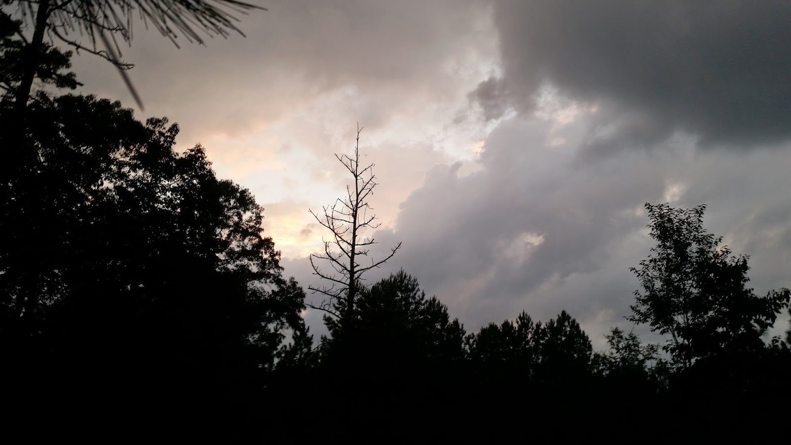
The fields here were thick heather and gourse, which is a very different biome than our forests at home. We came to a small, dark pond in the mountains.
Here the trail began to head back down to the town.
As the sun declined, so did we. We made it to the car with sunset behind us and returned to the house.
Day 7
Today we rested, and wandered about Oswestry, as we are moving to a new house next day.
Day 8
We left Llansilin to head to a little town on a lake in a more mountainous region of Wales. The town of Trawsfynydd is located on the banks of the artificial Llyn Trawsfynydd, a lake which was made to assist in the function of a power plant. More on that later. On the way to this village, we drove past Dinas Bran ("Dinas" is welsh for "fort"), which is supposed to have some connection to Arthurian legend. We did not stop to visit it, but its place atop a hill made it very impressive even from afar.
As this area is not far from where Tolkien grew up, it is not surprising that so many of the place names seem straight out of middle earth: Dinas Bran, Dinas Emrys, Moel y Gaer, etc. Even some of the historical names seem like they could be past kings of Numenor, like the person who built the currently visible structure of Dinas Bran, "Gruffydd Madog." That fort looks so much like Weathertop from The Fellowship of the Ring that it isn't even funny.
Anyway, we did stop at Valle Crucis Abbey on the way.
This abbey was built and populated by Cistercian monks. It and Dinas Bran were contemporary structures, with this being the primary religious building and Dinas Bran being the main ruling building. The monks valued solitude and peace, and you defiantly get that feeling here. It is nestled in between sizable mountains, and sitting on the edge of the fish pond one can reflect on life with ease.
The main hall was large, and while little is left of it now just looking at the size of the base of the columns one can imagine how grand it would have been in its complete state.
This is the front of the building from inside, which gives some impression of the height.
The monk's living area was in a separate wing off the side of the main area.
Inside this wing was the Chapter House, which is the room where chapters of the bible or the "Rule of Saint Benedict" were read.
From there we went up a very narrow stairway to the monk's dormitory.
Inside here, CADW (the historical preservation organization that owns the property) had the grave markers from outside stored to avoid weather damage.
Most every room of these large buildings had a fireplace. It gets quite cold here in the winter, and there was no central heating in the middle ages.
One of the rooms off of the main dormitory had an intricately carved mantle.
We then went back down the narrow stairway, and out to the back to see the graveyard (Minus the neat markers, of course)
We ate lunch at the site's cafe, which was pretty good, and then headed on to the much too long of a name to spell town.
After arriving at our house, which was once a bank, we walked out of town and toward the lake. As the lake is manmade the town doesn't sit on the bank of it directly, but rather on a nearby hill.
We walked out of town, crossing over a few sheep walls.
On the edge of town, there are a few unused farmhouses. The whole of the British Isles are covered with these very atmospheric ruins. Makes great exploring.
Despite the lake being industrial, unlike some online reviewers I thought it and the surrounding area was beautiful.
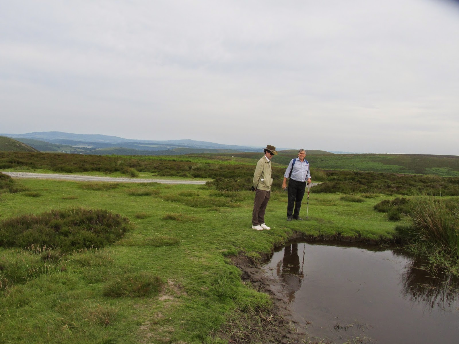
We walked to a sizable bluff above the lake.
The powerplant in the distance only slightly detracts from the spectacular landscape.
We came out this way to look for a geocache, which we didn't find, but I doubt we would have come to this awesome place outside of town without it, so I guess we found the really important part of the cache.
The view from atop Garreg yr Ogof (The name of the large rock) was great.
We made our way back to the house after that.
Day 9