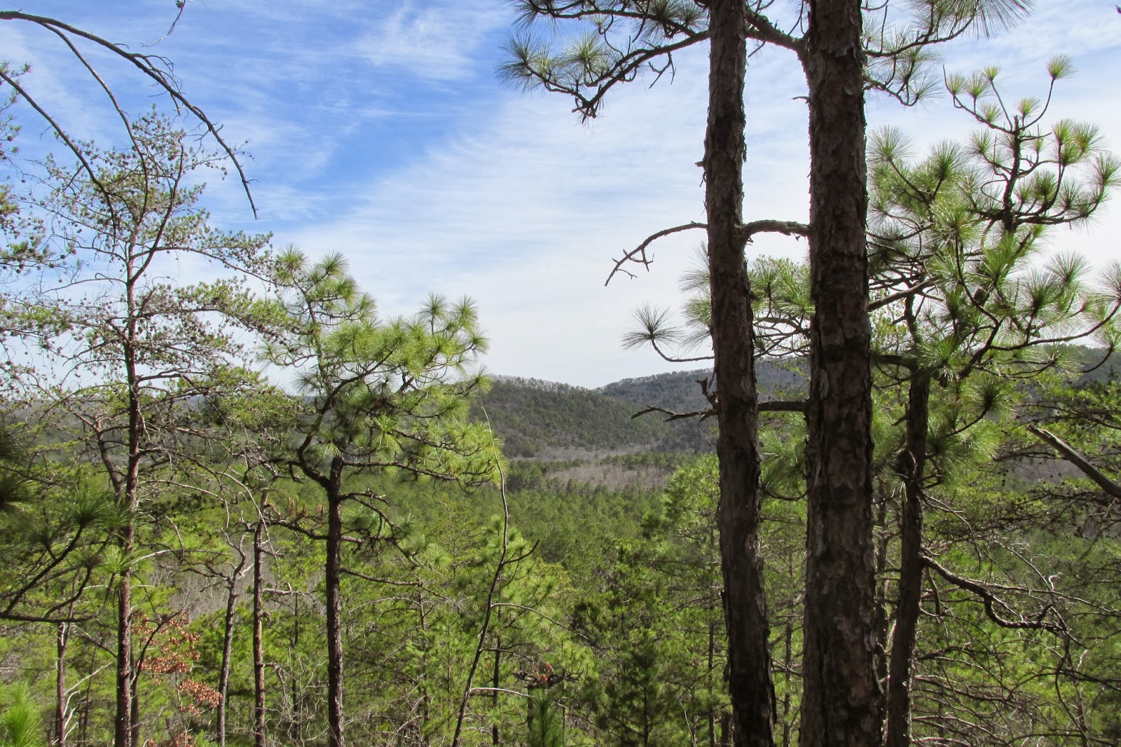
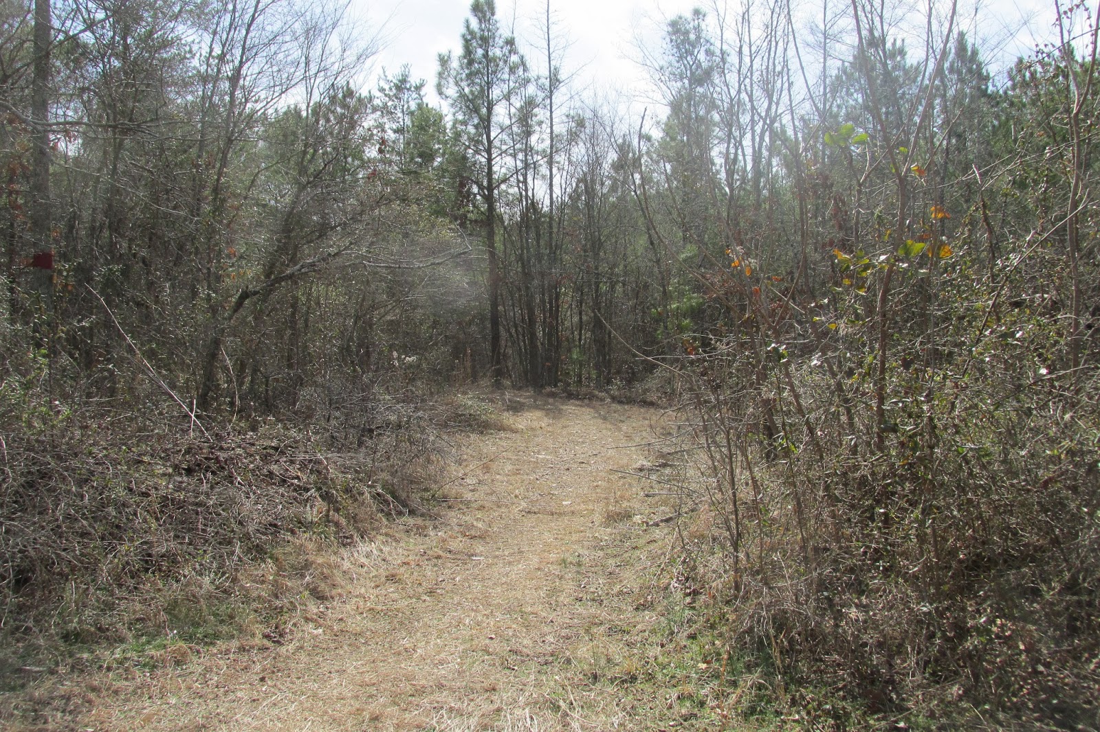
We started in the upper section of the state park, and set forth from a trail beginning near the cabins. We walked downhill for some distance, as this trail goes almost straight up and down Cheaha.

The trail followed closely along the base of the sizable cliffs that were the rock garden. We soon came to a place with a pleasant stream flowing over the jagged rocks, and stopped to rest a while. The rock garden is aptly named, as this area of the state park is covered with rocks large and small, some of which make some pretty cool formations.
 We all hung our hammocks over the jagged rocks.
I ventured forth to see where the stream was coming from, figuring that there would be a waterfall due to the fact that the stream was coming from the direction of the cliffs.

 It is difficult to see in the second picture, but the waterfall looked to be very tall. The top of it could easily have been 80-100 feet above me. The first picture is just the stream. The view from here was excellent.

We then continued down the mountain. Looking up, the cliffs loomed ever higher.
 After a while, the trail flattened out and met a large creek.
 This soon let out back at the lake. It was a fairly demanding hike, if very short. There is something close to 1000 ft of elevation lost or gained on this trail, and up or down it is taxing.
A weekend or two later, Mom and I got tired of watching Netflix and went out to Pulpit Rock. Some of these pictures I posted previously.
We walked a brief forest trail before coming to the Pulpit.

The views were great, as stated previously, and we saw a deer.


Today, we went and hiked out to Hernandez Peak, the real second highest peak in Alabama. Many, including Wikipedia, claim Dugger Mountain as the second highest point, but Hernandez is 2344ft. while Dugger is 2140ft. I'm bad at math, but I am pretty sure that means that Hernandez is taller.
We set out from the Cheaha trailhead, and headed out to the Peak. It is a very wild mountain.


Its nice when the rest of the family comes on hikes. Usually it is just me and Dad or me and someone else.
Here is me and my youngest sister, Jeffery.
 We carried on until we came to the cliffs of Hernandez Peak. Upon reaching the top, we stopped to set up our hammocks and enjoy nature.

There was a lot of poison oak, and it will be miraculous if none of us got any on us. But we tried to be careful in navigating it. Mom and Dad both ended up moving theirs due to sun, and I eventually set up my rainfly to block some of the sunlight.


It was a great place to hang.
Recently an article was published confirming the presence of the massive and fascinating golden Eagles in the national forest, and while we hung there someone spotted a pair of strangely gold-colored large birds flying in the distance. We couldn't tell if they were the birds from the article, but they were huge and decidedly not vultures. I would love to see a Golden Eagle in the wild, as they are beautiful animals, and if that is what these were it would be very cool. The officials are keeping the Eagle's locations and area of habitation fairly secret, as certain members of our local population tend to shoot anything that is special or rare or different, so as to keep them as trophies. The article also said that they would be heading back north at some point soon, as they are migratory.
We soon made our way back.
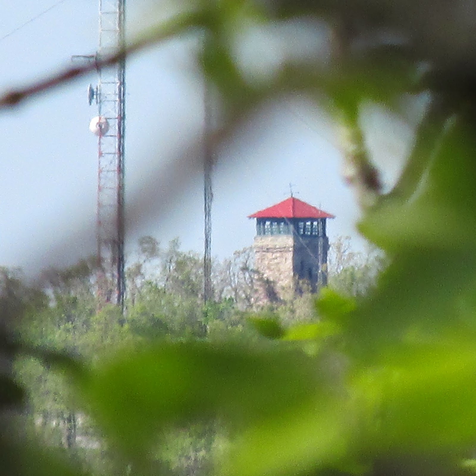
I would like to add that I found myself rather impressed with the little point and shoot camera we have been using for a while now.

 Anyway, it has been a fun couple of weeks. I also finished my second semester of college during those weeks, and am now about to begin a May semester. Hopefully it will be survivable.
I ventured forth to see where the stream was coming from, figuring that there would be a waterfall due to the fact that the stream was coming from the direction of the cliffs.
We then continued down the mountain. Looking up, the cliffs loomed ever higher.
A weekend or two later, Mom and I got tired of watching Netflix and went out to Pulpit Rock. Some of these pictures I posted previously.
We walked a brief forest trail before coming to the Pulpit.
The views were great, as stated previously, and we saw a deer.
Today, we went and hiked out to Hernandez Peak, the real second highest peak in Alabama. Many, including Wikipedia, claim Dugger Mountain as the second highest point, but Hernandez is 2344ft. while Dugger is 2140ft. I'm bad at math, but I am pretty sure that means that Hernandez is taller.
We set out from the Cheaha trailhead, and headed out to the Peak. It is a very wild mountain.
Its nice when the rest of the family comes on hikes. Usually it is just me and Dad or me and someone else.
Here is me and my youngest sister, Jeffery.
There was a lot of poison oak, and it will be miraculous if none of us got any on us. But we tried to be careful in navigating it. Mom and Dad both ended up moving theirs due to sun, and I eventually set up my rainfly to block some of the sunlight.
It was a great place to hang.
Recently an article was published confirming the presence of the massive and fascinating golden Eagles in the national forest, and while we hung there someone spotted a pair of strangely gold-colored large birds flying in the distance. We couldn't tell if they were the birds from the article, but they were huge and decidedly not vultures. I would love to see a Golden Eagle in the wild, as they are beautiful animals, and if that is what these were it would be very cool. The officials are keeping the Eagle's locations and area of habitation fairly secret, as certain members of our local population tend to shoot anything that is special or rare or different, so as to keep them as trophies. The article also said that they would be heading back north at some point soon, as they are migratory.
We soon made our way back.
I would like to add that I found myself rather impressed with the little point and shoot camera we have been using for a while now.